| Date: | Sunday April 29 |
| Hike Leader: | Robert Freeman |
| Distance: | 13km |
| Pace: | Moderate |
| Difficulty: | Level 2 |
| Invitation: | Meetup not ready yet |
| Start at Trailhead: | 11:15am |
 We start at
Rattlesnake Point Conservation Area
and we hike across the valley to
and around Crawford Lake.
We start at
Rattlesnake Point Conservation Area
and we hike across the valley to
and around Crawford Lake.
Rattlesnake Point has tall cliffs which have been the scene of fatal accidents!
Be careful around the edges. Do not cross barriers. Keep an eye out for careless hikers. Follow the hike leader's instructions. We don't want accidents.
Bring your camera, but be careful. There are no rattlesnakes at Rattlesnake Point.
Google Maps Directions. GPS address: 7200 Appleby Line, Milton, Ontario L9T 2Y1
There is an admission fee to the park, which you can share with your passengers from carpooling if you have any. We will meet in the upper parking lot, and we will try to get going at 11:15am.
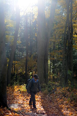
This hike is level 2 with some serious hills and some excellent lookouts. Bring a camera.
Portabellos Pizza & Eatery was closed for construction last time we were there. Ned Devine's Irish Pub, 575 Ontario Street South, Milton, ON L9T 2N2, (905.864.6794), turned out to be an excellent place to finish of a day of hiking. This is Derry Road and Ontario Street, on the north west corner. Here it is on Google Maps.
| Last updated 2018/04/01 | High Park Hiking Club | Webmaster: Howard Gibson |
|