| Date: | Sunday June 16 |
| Hike Leader: | Katia Desz |
| Distance: | 15km |
| Pace: | Moderate |
| Difficulty: | Level 2 |
| Invitation: | Meetup |
| Start at Trailhead: | 11:30am |
 In your Bruce Trail
Reference, look for map 18.
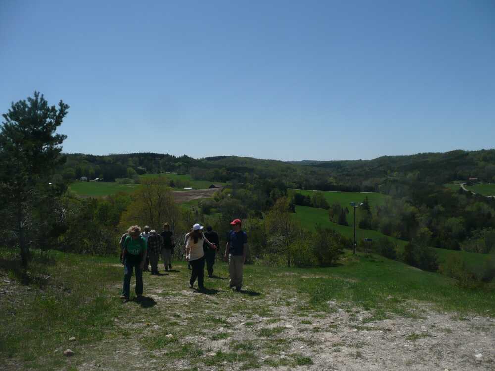
The photo is from May 2009.
In your Bruce Trail
Reference, look for map 18.
The photo is from May 2009.
From our meeting point at Yonge and York Mills.
The hike will start at around 11:30am.
Google Maps
Google Maps selects all sorts of fascinating routes.
We know that the signs on Airport Road are prominent.
We don't know what the landmarks are from the west side.
Google Maps likes the code XWFV+4H Mono
.
Maybe your car GPS will like it too!
There will be lots of hills, but they are not that difficult. The pace will be moderate. There will be lots of beautiful views.
| Last modified: 2024-04-03 | High Park Hiking Club | Webmaster: Howard Gibson |
|